
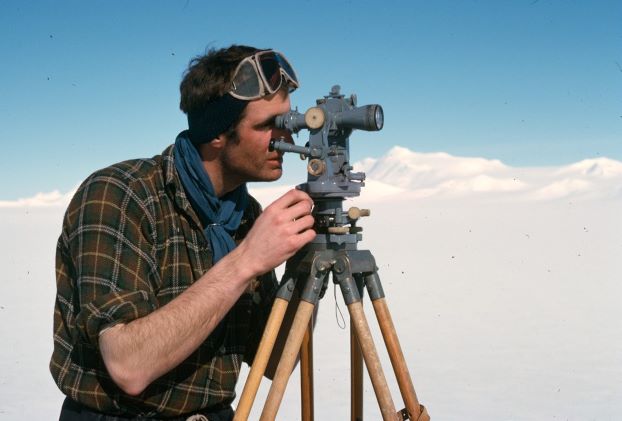
Survey 1965/66
1965 Surveyors – Tony Rider and Neil Marsden
The 1965 field season was supposed to based on Adelaide, Base T. However shortly before the relief ships arrived at Adelaide one of the single-engined Otters landed heavily and one strut was pushed through into the cockpit thus rendering the plane inoperable.
As a safety measure the remaining plane was only permitted to fly to places where there was already a presence, such as a field team.

The survey programme had been to fly from area to area extending by Tellurometer and theodolite the control network with the surveyors based at Adelaide.
The lack of a plane killed off this plan for the season and in a major change to the operations, the main field base was moved to Stonington Base E along with many dog teams.
A new field programme for the survey was hastily worked out and we were to carry out survey work around the local area before Midwinter and then north of Horseshoe, Base Y, after Midwinter.
Unfortunately whilst on a recce trip Tait and Marsden were camped at the foot of Sodabread. Over the next few days they lost their tent, spent a night in a crevasse and got separated on the return journey to base. Marsden suffered severe frostbite of his hands which restricted his survey activity for sometime.
After Midwinter Rider with GAs Tait and Gardner set off to recce the area north of Horseshoe. Unfortunately they deviated to Detaille Island, Base W, and were marooned there when the sea ice blew out. The RRS Shackleton picked them up some 5 months later at the end of the season.
Marsden and Thornton headed north unaware of their plight until they reached Blaiklock refuge.
Orders were then received to proceed to Base T by plane and carry out a survey of the proposed site for the new base (Rothera). However a big blow on the piedmont confined them to their tent for some 30 days. They returned to Base T and thence with RRS Shackleton back to Stonington.
1966 Surveyors – Neil Marsden and Dick Boulding
For the 1955 field season still only one plane was available. In January a directive was received to send a Tellurometer to Halley Bay where one had been lost down a mountain. This once again put paid to the original survey brief.
Soon after the ships had departed Tom Allan, diesel mech, and John Noel, radio op, were lost, along with two dog teams, whilst on an overland trip to Horseshoe.
Base leader/GA Terry Tallis and GA Alec Bottomley took over as radio op and diesel mech respectively.
However this shortage of GAs and dog teams required yet another rethink. Eventually Marsden teamed with geologist Keith Holmes and Boulding with GA John Noble to survey by triangulation plus sledge wheel and compass the area west of the Eternity Range.
As the field season drew to a close the Americans began flying photogrammetry above us from a base in Chile.
Not too much had been achieved in a frustrating two years.