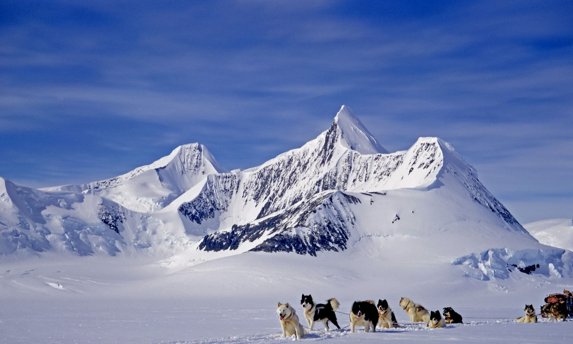

It is a very appealing mountain and as the geological work in that area was now completed and before the intended move to the Eternity Range the weather presented an opportunity not to be missed. It looked straightforward enough; the spine could be reached by climbing its butt end beyond the icefalls of the flanks of the northern ridge and then it looked like a straightforward but long uphill plod along the backbone to the icy mantle of the mane. That looked like the only possible obstacle but as is often the case in such situations when viewed from afar there would likely be a hidden easy way around.
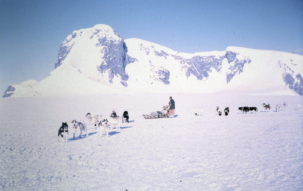
So, after recovering from Xmas and being woken by the sound of a large avalanche, we drove the four teams (Admirals, Gaels, Picts & Ladies) the six miles from camp down to the north ridge of Leo and parked at a convenient spot where we could access the top of the ridge.
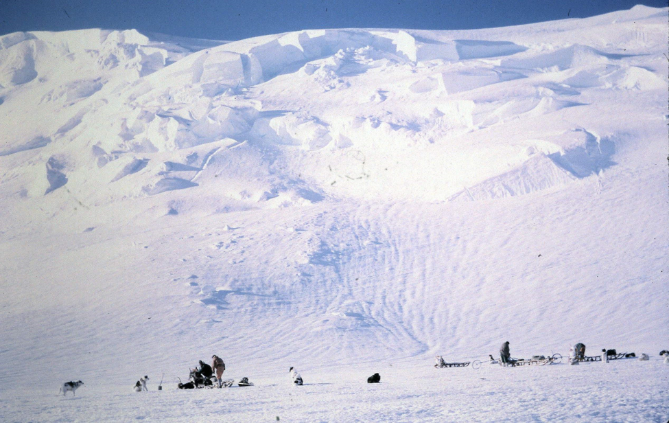
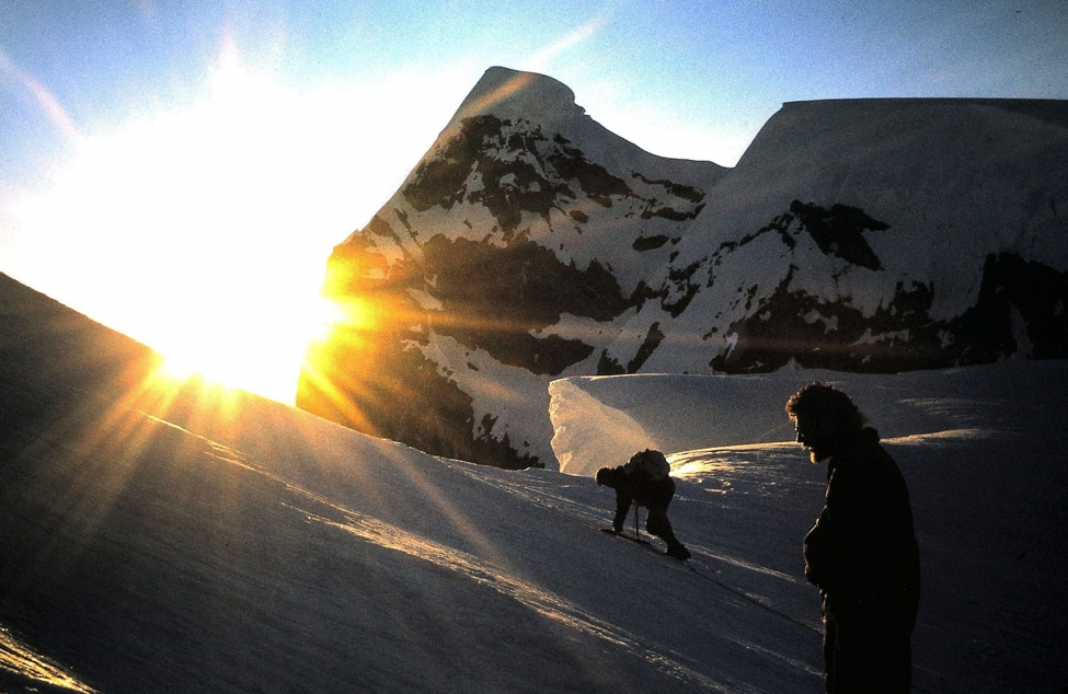
We started climbing a little after midnight on 27 December and soon roped up to negotiate the crevasses and remained roped up for the rest of the climb.
This was a steady plod upwards in beautiful sunny calm weather.
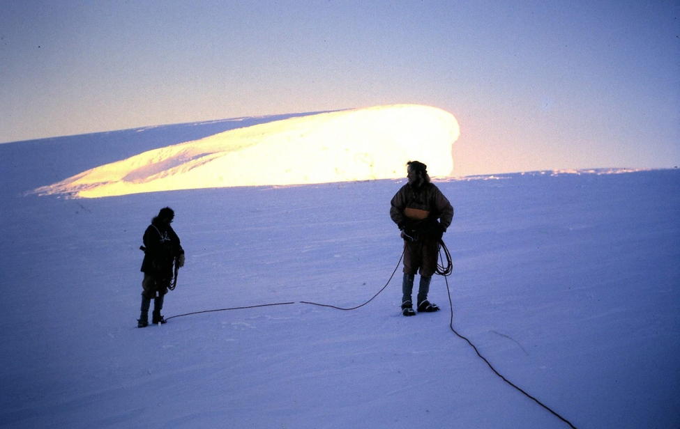
As we neared the icy mane, or ‘dongler’ as we called it, it looked more and more foreboding as any way round to the left, or east side, looked out of the question.
Our hope then lay in negotiating a route on the right western side but as we reached the narrow neck approaching the dongler this too was dashed. This side of the mountain had largely been shielded from view during the climb up due to the large rounded slopes of the ridge but this now narrowed to a neck under the dongler revealing a huge precipitous drop a thousand feet or so to the glacier below.
It was every bit as intimidating as the cliffs to the left. A traverse to the left or right was then out of the question and the only remaining option was to tackle the dongler head on.
This was no longer a walk in the park but now a serious undertaking. About 50 feet or so of steep crumbly snow ice lay ahead some of it near vertical with immense drops on either side.
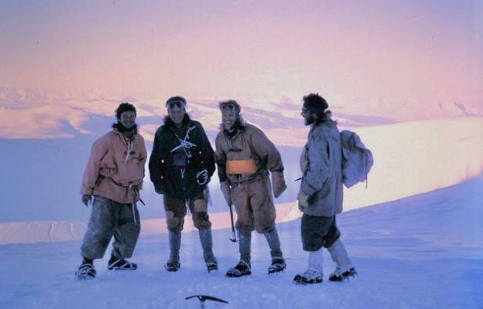
Once climbed this would have to be reversed either by climbing down or abseiling from ice screws as anchors. The consequences if something went wrong were obvious. We discussed the situation for a few minutes. Technically it was feasible but was considered just not worth the risk. We took the customary group photographs then headed back down.
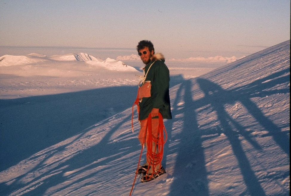
My journal entry states that we likely reached the dongler at about 02:30 but based on other times noted, I think this would be more likely around 04:30. At any rate, it was an easy descent with beautiful views all around in the early morning light. It was a bit of a disappointment though, and as we neared the tail of the ridge I think we all thought it was a bit of a bummer; this lion remained untamed.